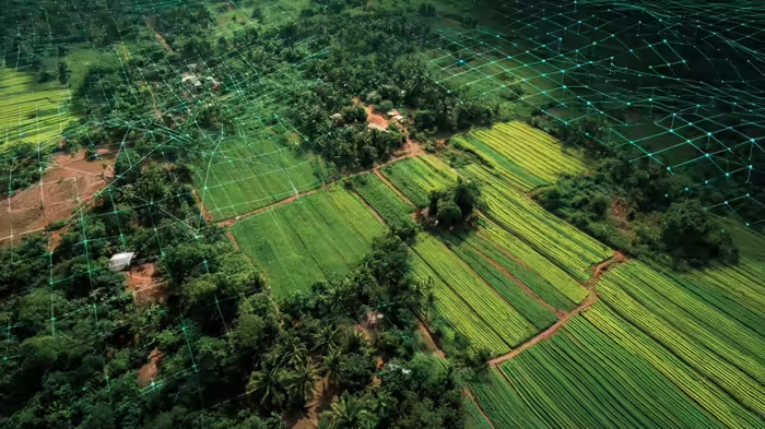
Lucknow: In a major move to streamline land records and reduce disputes, the Uttar Pradesh government has announced that all village land and house maps will soon be available online. Using advanced satellite technology, the initiative will allow residents to access precise details of their plots and homes with a single click.
High-Accuracy Digital Mapping
Preliminary tests have shown an accuracy of 15 to 30 centimeters, ensuring near-perfect identification of land parcels. Under the new system, each plot number, house, and farmland will be tagged on the digital map, making it easy for anyone to locate a specific property by simply entering its number.
Mobile Access for Citizens
The state’s Revenue Council is developing a mobile application through which villagers will be able to view the exact location and area of their land and houses. The initiative will make Uttar Pradesh the first state in India to implement village-level digital mapping on such a large scale.
Ending Land Disputes
With over 57,000 gram panchayats and more than 100,000 revenue villages, land disputes have been a persistent problem in rural areas. Boundaries of houses and farms often lead to confrontations between neighbors. However, with high-resolution satellite imagery and online maps, the chances of such conflicts will be drastically reduced. The maps will clearly display the exact size and location of every plot, ensuring transparency and reducing disputes.
The government expects the digital mapping process to be completed within the next three to four months, offering villagers unprecedented clarity and control over their land records.